
Elevation Certificates in Savannah, GA: What They Are, Why They Matter, and Where to Look
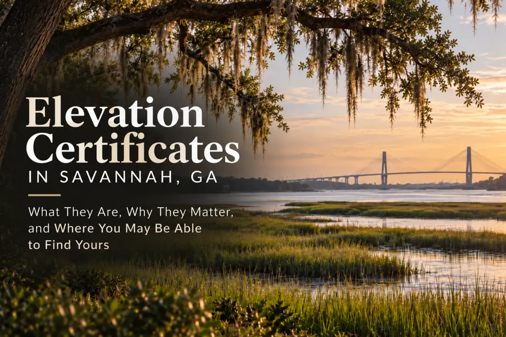
Elevation Certificates in Savannah, GA: What They Are, Why They Matter, and Where to Look
Need an elevation certificate for your Savannah-area home? Before hiring a surveyor, check whether your city or county already has one on file.
Some local governments maintain existing elevation certificates that homeowners can request or download, sometimes at no charge. Availability varies by property and jurisdiction, but knowing where to look could save you time and the expense of obtaining a new certificate.
Whether you're buying a home, preparing to sell, reviewing flood insurance costs, or planning improvements, understanding elevation certificates is particularly useful in coastal Georgia.
What Is an Elevation Certificate?
A FEMA Elevation Certificate (EC) is a document that records specific elevation and structural information about a building.
It is used in administering the National Flood Insurance Program (NFIP) and documenting compliance with local floodplain management regulations.
An elevation certificate typically includes:
-
The property's location and applicable FEMA flood zone.
-
The Base Flood Elevation (BFE), when established.
-
The elevation of the building's lowest floor and other relevant structural components.
-
Information about foundations, attached garages, enclosures, and flood openings.
-
Elevation measurements and certification information.
The Base Flood Elevation (BFE) is the calculated elevation that floodwater is expected to reach during a flood with a 1% chance of occurring in any given year.
An elevation certificate provides measurements that can help establish how a building's elevation compares with the applicable BFE.
It is important to understand that an elevation certificate is not the same as a property survey, flood insurance policy, or FEMA flood zone determination.
Why Does an Elevation Certificate Matter?
In Savannah and the surrounding coastal communities, flood-related considerations can affect property ownership, insurance, financing, and future improvements.
An elevation certificate provides property-specific information that can be useful in several situations.
Flood insurance: More precise elevation information may help an insurance company determine the appropriate premium for a property.
Buying a home: An elevation certificate can help buyers better understand the building's elevation characteristics and obtain information for flood insurance quotes.
Selling a home: Having an existing certificate available can help prospective buyers research insurance costs and evaluate flood-related property information.
Renovations and construction: Elevation documentation may be needed to demonstrate compliance with local floodplain development requirements for new construction and certain improvement projects.
An elevation certificate does not guarantee that a property will not flood, nor does it automatically change a property's FEMA flood zone designation.
Is an Elevation Certificate Required for Flood Insurance?
Not necessarily.
Under FEMA's Risk Rating 2.0 methodology, an elevation certificate is generally not required to obtain a National Flood Insurance Program policy.
Instead, FEMA uses multiple factors to calculate premiums, including flood characteristics, distance to water, building characteristics, and replacement cost.
However, homeowners can voluntarily provide an elevation certificate containing more precise information about their building.
In some situations, that information may result in a lower insurance premium. In others, it may not change the premium or could produce a higher calculated rate.
Before purchasing a new elevation certificate solely for insurance purposes, ask your flood insurance agent whether the information is likely to be beneficial.
Private flood insurance companies may have different documentation and underwriting requirements.
When Is an Elevation Certificate Required for Construction or Floodplain Compliance?
While an elevation certificate may not be required for most NFIP insurance policies, that does not mean it is unnecessary for construction or floodplain management purposes.
Local governments participating in the National Flood Insurance Program administer floodplain regulations designed to reduce flood damage.
For properties in regulated flood hazard areas, elevation documentation may be required during:
-
Construction of a new home.
-
Certain additions or substantial improvements.
-
Reconstruction following substantial damage.
-
Building permit and floodplain compliance reviews.
-
Verification that required building elevations have been achieved.
The requirements depend on the property's location, the nature of the proposed construction, the applicable flood zone, and local ordinances.
For example, the City of Savannah adopted a two-foot freeboard requirement, effective January 1, 2025, for new and substantially improved structures within designated floodplain areas.
Freeboard refers to an additional elevation requirement above the established Base Flood Elevation.
Tybee Island and other nearby jurisdictions have their own floodplain development requirements, which may differ from Savannah's.
Before beginning construction, renovations, or significant improvements on a property located in a regulated floodplain, consult the appropriate local building and floodplain management department.
An existing elevation certificate may be helpful, but additional or updated documentation may still be required.
Where Can You Find an Existing Elevation Certificate in Savannah and Coastal Georgia?
Before ordering a new elevation certificate, start with the local government responsible for the property's floodplain administration.
Several jurisdictions throughout Greater Savannah maintain records that may include completed elevation certificates.
City of Savannah
The City of Savannah maintains an online collection of existing elevation certificates organized by street name.
Homeowners can access the City's flood protection resources and look for the link labeled "Search for Elevation Certificates."
Resource: City of Savannah Flood Protection Information
Contact: Tom McDonald, Floodplain Manager
Phone: 912-651-6530, extension 1895
If a certificate cannot be located online, the City's floodplain management office may be able to provide additional guidance.
Keep in mind that a Savannah mailing address does not necessarily mean a property falls within Savannah city limits.
Unincorporated Chatham County
Chatham County's Department of Engineering maintains floodplain records and provides available elevation certificates upon request at no charge.
Property owners may also be able to locate existing certificates through the County's online resources.
Resource: Chatham County Engineering - Flood Information
Email: floodletters@chathamcounty.org
Phone: 912-652-7800
When requesting information, include the property address and Parcel Identification Number (PIN), if available.
This resource is particularly relevant when researching properties in unincorporated areas such as Wilmington Island, Skidaway Island, and other portions of Chatham County outside municipal limits.
Tybee Island
The City of Tybee Island provides access to a list of properties for which flood elevation certificates are available on file.
The City's Flood Information for Homeowners webpage includes a link to available certificates.
Resource: Tybee Island Flood Information for Homeowners
Because of Tybee Island's coastal setting and floodplain development requirements, researching elevation documentation can be a useful step for both existing property owners and prospective purchasers.
If a certificate is not listed, contact the City's Community Development Department for guidance.
Bryan County and Richmond Hill
Bryan County maintains an online repository of elevation certificates organized by year, with records available from 2009 forward.
The County also provides information about requesting older records through its open records process.
Resource: Bryan County Elevation Certificate Repository
Phone: 912-756-7964
Bryan County's online repository is a useful starting point for properties under the County's floodplain jurisdiction.
Effingham County
Effingham County Development Services provides copies of available FEMA elevation certificates for many buildings constructed within floodplains in unincorporated Effingham County.
Resource: Effingham County Elevation Certificates
Phone: 912-754-2128
For properties located within the incorporated limits of Guyton, Rincon, or Springfield, contact the appropriate municipality to determine where elevation records may be maintained.
What If Your Elevation Certificate Isn't Available Online?
Not finding a certificate through an online search doesn't necessarily mean one does not exist.
Before ordering a new certificate, consider contacting:
-
The local floodplain administrator or building department.
-
The current property owner or previous owner, if available.
-
The property's flood insurance agent or insurance company.
-
The original builder or developer.
-
The surveying company involved with the property's construction.
Older building permit records, insurance documentation, or construction files may also provide leads.
Some older properties may never have had an elevation certificate prepared, particularly depending on when they were constructed and which floodplain requirements applied at the time.
Additionally, an existing certificate may not always be suitable for the purpose for which it is needed.
Changes to the building, differences in documentation requirements, or incomplete information may necessitate updated measurements.
Before You Pay for a New Elevation Certificate
A new elevation certificate may be necessary, but it makes sense to determine whether existing documentation can meet your needs before incurring the expense.
Consider these steps:
1. Confirm the property's jurisdiction.
Identify whether the property falls within municipal boundaries or an unincorporated county area. This determines which government office is most likely to maintain the records.
2. Search the local government's available records.
Use the resources listed above and check whether an elevation certificate is already available.
3. Contact the floodplain administrator.
If an online search is unsuccessful, ask whether an existing certificate may be available through building permits or other archived records.
4. Verify whether an existing certificate can be used.
An older certificate may still contain useful information, but its suitability depends on the building's current condition and the purpose for which it is being requested.
5. Speak with your insurance agent or the appropriate permitting authority.
If your goal is flood insurance pricing, ask whether a new certificate would provide useful rating information.
If the certificate is needed for construction or regulatory compliance, confirm the applicable documentation requirements with the local government.
6. Hire a qualified professional if a new certificate is necessary.
In Georgia, elevation certificates are commonly prepared by licensed land surveyors. Other properly authorized professionals may also be permitted to complete applicable portions of the documentation.
The goal is not to avoid obtaining a certificate when one is necessary. It is to determine whether adequate documentation already exists before paying for new work.
Can an Elevation Certificate Lower Your Flood Insurance Premium?
Possibly, although the outcome depends on the property.
Under FEMA's Risk Rating 2.0 methodology, premiums are based on multiple flood risk and building-related factors.
An elevation certificate may provide more precise measurements than those otherwise available to the insurer.
If those measurements establish a more favorable elevation relationship, the information may produce a lower calculated premium.
However, savings are not guaranteed.
The most practical approach is to have a knowledgeable flood insurance agent evaluate whether a certificate is likely to make a meaningful difference for your specific property and policy.
Is an Elevation Certificate the Same as a Flood Zone Determination?
No. These documents provide different types of information.
A flood zone determination identifies the FEMA flood hazard classification applicable to a property or structure.
An elevation certificate records specific structural and elevation measurements.
Two properties in the same FEMA flood zone can have different building elevations, foundation characteristics, and insurance premiums.
Homeowners and buyers can review official flood mapping information through the FEMA Flood Map Service Center.
An elevation certificate does not automatically remove a property from a designated flood zone. Formal map changes require a separate FEMA process.
It's also important to remember that properties outside designated high-risk flood zones can still experience flooding.
Should Sellers Obtain an Elevation Certificate Before Listing?
If your home is in an area where flood insurance may be an important consideration, locating an existing elevation certificate can be a worthwhile part of pre-listing preparation.
Prospective buyers often evaluate the total cost of ownership, including mortgage payments, property taxes, homeowners insurance, flood insurance, and any applicable association fees.
Having an existing elevation certificate available may help buyers obtain more complete insurance information earlier in the transaction.
It may also reduce delays caused by searching for documentation after a property is under contract.
However, this does not mean every seller needs to purchase a new elevation certificate.
The first step is determining what documentation is already available and whether it is useful for the property's circumstances.
What Buyers Should Know About Elevation Certificates in Coastal Georgia
For buyers considering homes in Savannah, Wilmington Island, Skidaway Island, Tybee Island, Richmond Hill, and surrounding areas, flood-related research should be part of the property's overall evaluation.
That research may include reviewing:
-
The property's FEMA flood zone.
-
Available elevation certificates.
-
Current flood insurance quotes.
-
Property-specific flood exposure information.
-
Available flood history and insurance claim information, where obtainable.
-
Local floodplain restrictions that could affect future improvements.
An elevation certificate is one part of the larger picture.
It should be considered alongside the property's condition, insurance costs, financing requirements, and any planned changes to the structure.
The Bottom Line
An elevation certificate can provide valuable information when buying, selling, insuring, or improving a property in coastal Georgia.
But before paying to have a new certificate prepared, check whether one may already be available through your local government or existing property records.
Not every property will have an elevation certificate on file, and not every existing certificate will meet current needs.
Still, knowing where to look is a practical first step that may save time, prevent unnecessary expenses, and support better-informed real estate decisions.
Preparation matters, particularly when the details can affect both the cost and responsibilities of property ownership.
Rachael Blunt is a REALTOR® with Epique Realty serving Savannah, GA and the surrounding coastal Georgia communities, including Chatham, Bryan, and Effingham counties.
This article is for general informational purposes. Flood insurance requirements, floodplain regulations, and elevation certification standards vary by property and jurisdiction. Consult the appropriate local authorities, licensed insurance professionals, and qualified surveyors for property-specific guidance.
Categories
Recent Posts




GET MORE INFORMATION